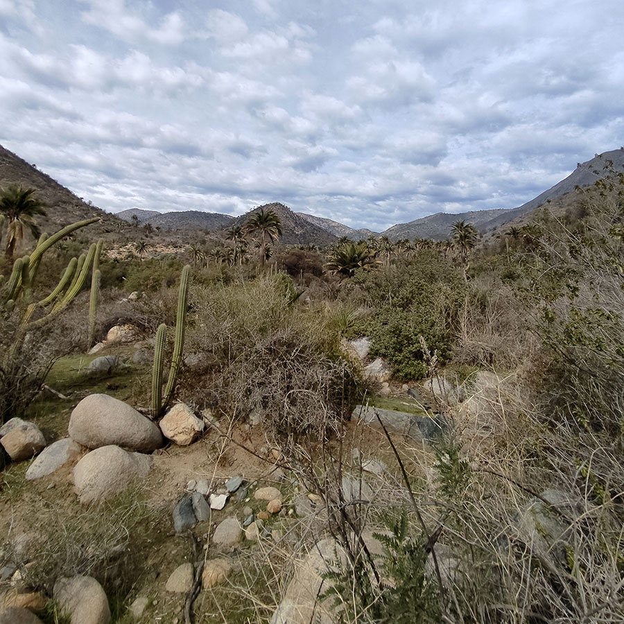
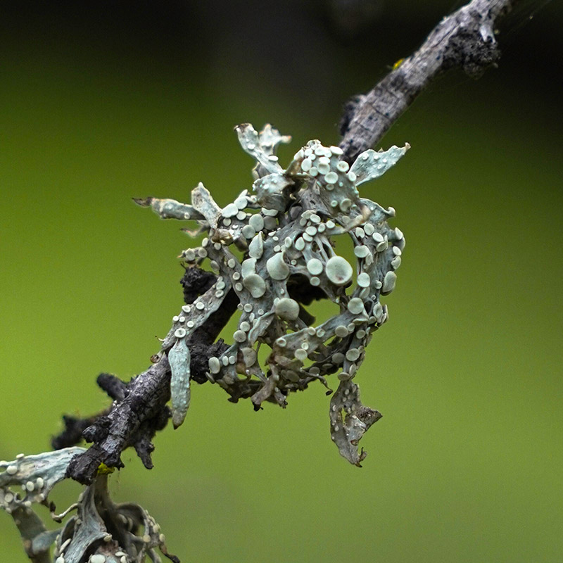
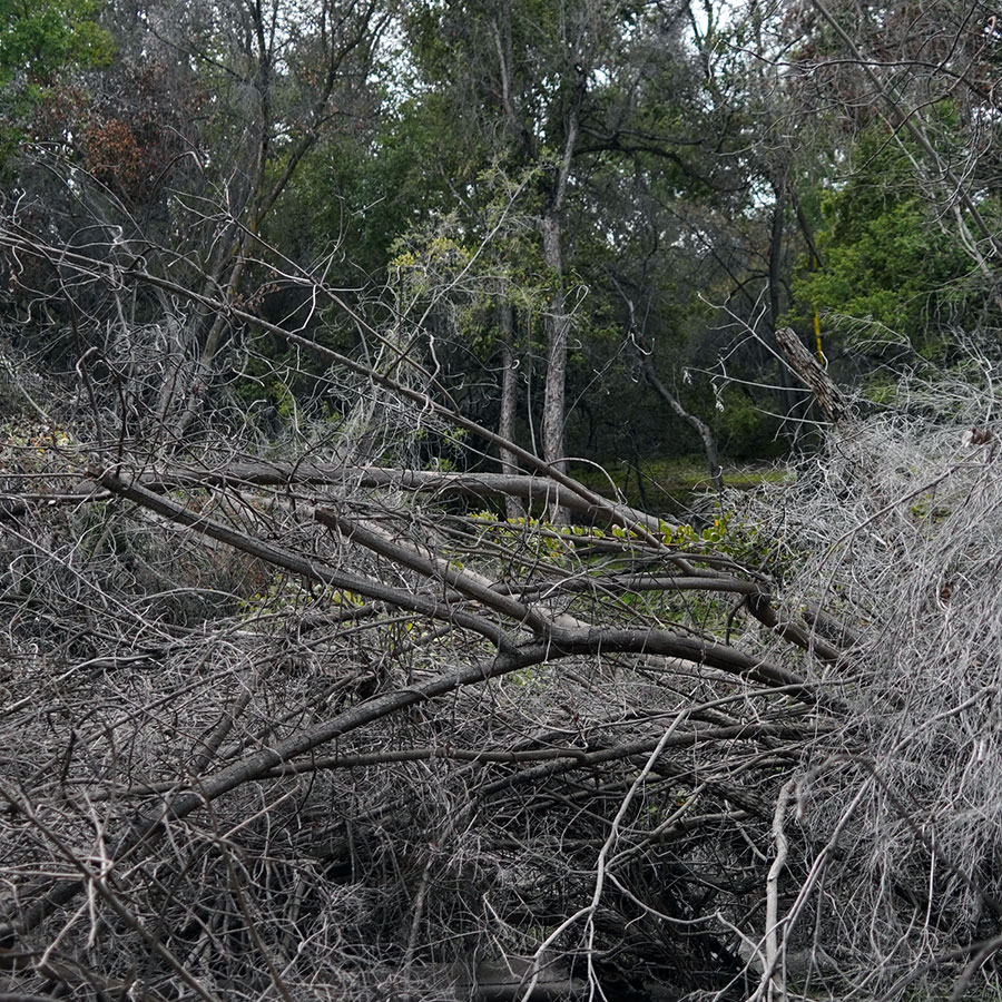
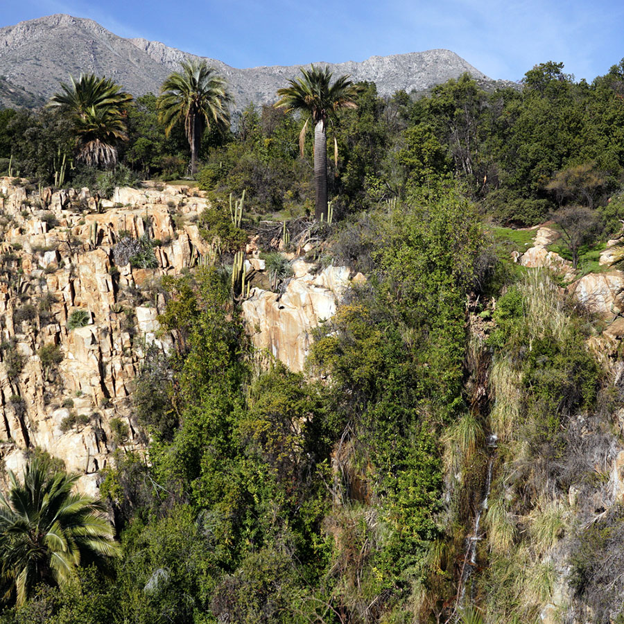
Books

Soils and substrates

In La Campana National Park, the soils and substrates are equally fascinating. The geology of the region has given rise to varied soils, with rocky outcrops and substrates of great interest. Soils in the area vary from clay soils to those rich in minerals such as quartz and feldspar. These unique geological features influence the vegetation and flora, creating specific ecological niches for various species. The rocky substrates provide a unique habitat for plants adapted to these extreme conditions, contributing to the park's biological diversity.

Dam

El Palmar Circuit - Item N°7

This is the meeting point of the El Amasijo and La Cortadera ravines, where the Rabuco Stream, the main water collector for the Ocoa sector of the National Park, is formed.

The torrential valleys have lost their steepness, joining a flat area at the foot of the mountains, forming a cone-shaped alluvial deposit, which can be distinguished as an alluvial fan.

This type of relief morphology is easily modified by flood waters.

Lichens

El Palmar Circuit - Item N°8

The adaptability of lichens to adverse conditions, such as the dryness and intense solar radiation that characterize La Campana, is evidence of their ability to cope with extreme conditions. These lichens not only play a fundamental role in soil stability and moisture retention, but are also considered bioindicators of air quality, since their presence and diversity are intrinsically related to the purity of the environment. The conservation of this lichen community becomes a priority to preserve both the ecological integrity of the park and its scientific value by serving as a model of adaptation to adverse environmental conditions and contributing to the understanding of the complex interactions between these symbionts and their environment.

The profound diversity of lichens in La Campana National Park is not only of biological importance, but also adds an attractive aesthetic and scientific component to the region. Observing this diverse lichen community in such a harsh mountain environment underscores the importance of biodiversity and the imperative need to protect and conserve these ecosystems for the benefit of scientific research, and the sustainable enjoyment of future generations.

Soil Processes

El Palmar Circuit - Item N°10

Edaphology is the science dedicated to the study of soil properties and the processes of its formation, or edaphogenesis. It can be observed in three stages.

First, the parent rock is altered or weathered by factors such as temperature or precipitation.

Then, in second place, the first living beings such as mosses and plants are settled, which will further alter the rock material by influencing the chemical composition of the substrate, providing organic matter and nutrients through their biological processes.

Third, the components will mix through movements generated by the roots and by the flow of air or water through the pores of the substrate, forming a soil layer.

The mixture of diverse nutrients together with the humidity of the zone will allow the growth of diverse species of plants and mosses that will expand the forest surface.

Fluvial Plain

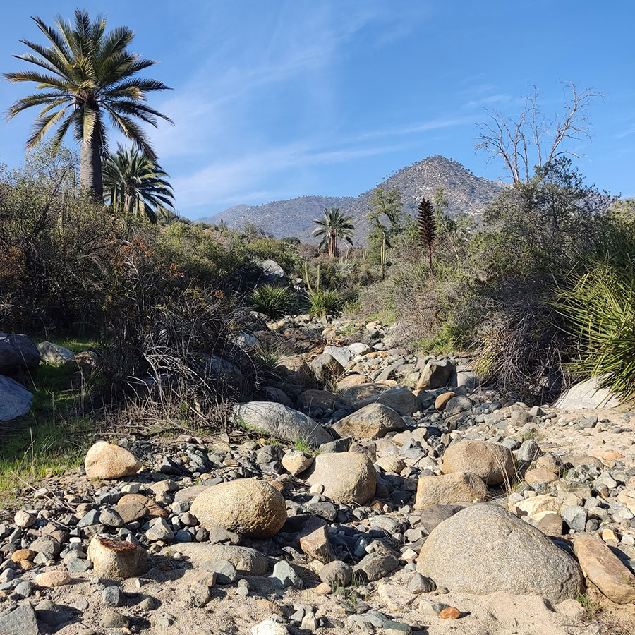
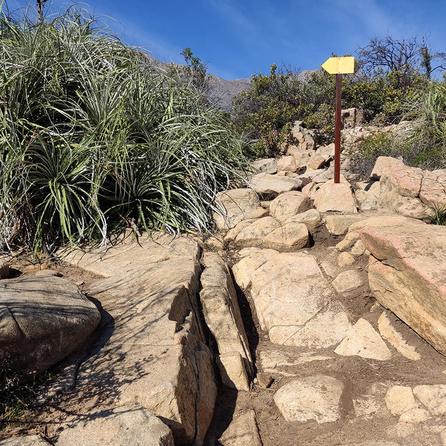
El Palmar Circuit - Item N°12

Around 1634 the owner of the lands in the Ocoa Valley was Francisco Pedraza, a powerful Chiloé encomendero. His property bordered Llay Llay to the northeast, Quillota to the west, Olmué to the south, and Caleu to the east. He had hemp plantations to make rigging and ropes to supply the army that battled on the Biobío frontier. It also had a vineyard, mill, tannery, cattle, oxen and mules.

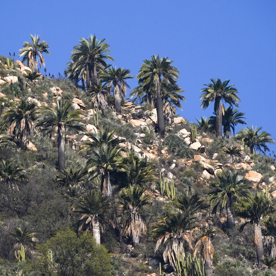
At the beginning of the 18th century, the estancia was acquired by the Jesuits. Its main houses were located at the foot of Cerro La Calavera, and they cultivated a vineyard with more than 8,000 plants. They managed a considerable amount of livestock, including 1,791 sheep, 689 cattle and another 357 animals, including horses, mules and donkeys. They harvested between 600 and 800 bushels of coconuts per year, which were highly valued by the crews of the ships.

After the expulsion of the Jesuits in 1767, the property was leased and remained practically intact until 1822, when it was divided into five subdivisions: Ocoa, Vista Hermosa, Rabuco, Maitenes de Ocoa and Las Palmas. The latter became the Ocoa sector of La Campana National Park in 1965.

In the 19th century and the first half of the last century, the productive infrastructure implemented by the Jesuits was preserved, maintaining the raising of cattle, the exploitation of vineyards, the beneficiation of gold with mills and wash houses, the old hemp plantations to make rigging and the use of coconuts from the palms.

The productive situation changed strongly with the Agrarian Reform of the 60s and 70s, which led to the expropriation of estates and the subdivision of properties, tenants were given a plot of land in the plan, and in addition, a right to a hill. After the reform was reversed in the following years, many of these properties and rights of the tenants were acquired by outsiders, giving rise to a new population mosaic during the 21st century.

Fruticose Lichens

El Quillay Circuit - Item N°6

A lichen may look like a single organism, but it is actually a complex entity made up of several organisms living in symbiosis, formed by a fungus, which is the main element, along with a green algae and/or a cyanobacterium.

They are essentially collaborative, not competitive, neither dominating the other. The alga or cyanobacterium takes care of the food and the fungus provides a home. While the fungus is not able to carry out photosynthesis, the algae component does, providing the nutrients - mainly carbon nitrates and nitrogen compounds - so that the fungus can develop the secondary metabolite. For its part, the fungus is able to adhere to its support and offer protection to the algae component, in addition to providing salts and mineral waters obtained from the substrate.

They are able to colonize almost all known ecosystems and can survive extreme weather conditions. However, their weakness is being very sensitive to pollutants such as sulfur dioxide and ammonia. They are an interesting bioindicator of the environmental conditions of a specific place, acting as a natural indicator of pollution. A higher concentration of lichens is directly related to cleaner air and water.

Lichens can acquire different forms depending on the substrate to which they are attached. On rocks, crustaceous forms predominate, with radial growth, and their bodies are completely attached to the rock. On the bark and branches of trees they present fruticose forms, like those that proliferate on the trunks and branches of the Litre (Lithraea caustica) and Espino (Vachellia caven) trees that surround you. Their bodies are elongated, resembling a mane, attached to the substrate by a single point while the rest of the organism is far from it, and can branch profusely. Finally, they adopt foliose forms, in which their bodies are partially detached.

Forces of Nature

El Quillay Circuit - Item N°8

We are located at the bottom of La Buitrera creek, a secondary water collector that supplies the Rabuco stream, the main effluent of the Ocoa basin.

Its drainage pattern is formed by primary and secondary tributaries, which join freely in any direction, having the shape of an extended hand where each tributary of the main river is equivalent to each finger of the hands.

You may have noticed that the slopes of the hills that surround us present drainage forms, which are characteristic of massive igneous rocks without structural control. They are rocks formed by the solidification of magma; through a very slow crystallization process, which resulted from the cooling of minerals and the interlocking of their particles.

These fragmented rocks that roll at a slow pace in the direction of the ravine axes, are dragged in days of intense rain and landslides, and are subjected to continuous weathering during their long periods of settlement in each place.

The stone boulders are characteristic of the polishing of coarser rocky materials generated by surface water erosion.

Their finer particles became detached from the layer of gravel covering them.

Stream and bridge (fluvial sediments)

Waterfall Circuit - Item N°3

In this sector you can appreciate the force that the tributaries have had to move material from the slopes of the hills to the ground where you are standing. The hydraulic transport has been able to drag the rocks from the highest parts of the ravines, filling the valley with rocks or clasts of different sizes that, by showing rounded shapes, show the wear they have suffered as a result of the rough journey from their origin.

The main sub-basins that have played a leading role in the conformation of the soil in which you find yourself are Quebrada El Amasijo and Quebrada El Cuarzo, which are characterized by permanent water streams that run all year round. Both streams are fed by other intermittent streams that emerge during periods of heavy rainfall or when snow that accumulates on the park's peaks during the winter melts.

In years when rainfall is torrential, phenomena such as alluvium can occur, which means that the force of the water will be able to detach the rocky material and drag it over longer distances, which in combination with the dragged mud can cause sediment accumulation.

Boulders

Waterfall Circuit - Item N°6

When you look up to the tops of the hills in front of you, you can see the rocky material peeking through the vegetation. As you can see, there are rounded large rocks located next to each other. This heterogeneous conformation of the terrain is called boulder chaos or granite chaos, and sometimes achieves the appearance of a slope with steps. The chaos of boulders corresponds to a geomorphological phenomenon in which the rocks are being eroded, losing material in a spheroidal way as if it were an onion losing layers. This occurs because the mineral composition of the rocks is dominated by granite, a mineral composed mainly of quartz and potassium feldspar.

The erosion of these rocks is occurring on site, by elements such as rainfall or abrupt changes in temperature, but it is possible that some blocks may break off and move to lower sectors of the slope due to the effect of gravity. In addition, you will be able to observe under your feet a sort of "sand" that corresponds to the fine particles of the meteorized material of the blocks that can be seen up there and that have been brought up here by the washing carried out by the rains.

Fractured Rock

Waterfall Circuit - Item N°8

The rocks here have very peculiar shapes. As you can see, many of them look like they have been cut into large puzzle pieces. What you see is evidence of the conditions the rocks have had to endure outdoors. Weathering is the process by which rocks are altered and disintegrated by various factors that affect them as they come to the surface. Physical weathering, which is one of the most clearly observed in this landscape, corresponds to the disintegration of the rock by forces that, although they alter its shape, do not alter the composition of its minerals. Abrupt temperature changes are one of the forces capable of doing this modeling work by fracturing the rock into pieces in a process called thermoclasticity. In this process, the heat received by the rock from the sun's rays during the day causes it to expand, while at nightfall temperatures drop abruptly, causing it to contract and break.

Waterfall

Waterfall Circuit - Item N°9

La Campana National Park is home to a great lithological wealth. The relief has been shaped by a combination of elements such as the folding of the earth's cortex as a result of plate tectonics, the emergence of large-scale fractures or faults, and the outcropping of different types of minerals. These elements have caused the coexistence of lithostratigraphic units, also called geological formations, of different dates. Among them are the Lo Prado Formation, the La Horqueta Formation, the plutón de Caleu, the La Campana unit and the Dioritic unit.

From the viewpoint of the waterfall you can not only appreciate how the faults in the terrain have caused the outcropping of minerals arranged in columns, giving rise to a massive wall, but you can also observe the modeling work carried out by the water. Surface water is capable of eroding the terrain as it passes through, weathering its bed by transporting sediments that it carries from the headwaters, the place where it originates. However, when the rocky material is very resistant to erosion, the water course will take much longer to achieve its modeling, as in the case of La Cortadera waterfall, a waterfall that extends for more than 25 meters.

13. Trail erosion

Granizo - Ocoa Crossing - Item N°13

Trails deteriorate over time and need to be maintained so that people can walk on them in a sustainable and safe way.

Their deterioration is influenced by erosion caused mainly by rainfall on the path surfaces. This can be due to steep slopes, poor drainage gradients or unstable soils.

The historical use of the track also has an influence. The herder’s tracks tend to generate deep potholes such as the ones we have been passing through in the last few routes. The horse's foot is smaller than ours and the pressure exerted by its footprint is several times greater. And when the ground is muddy, it digs deeper.

This route passes through different types of paths, some more demanding than others, changing from forest to scrubland, alternating between valleys and mountains, dazzling us with the distribution of rocks and palm trees. It also makes use of small stretches of roads built by the old mining entrepreneurs who once operated in what is now La Campana National Park.

Since walking gives us pleasure, we should also be concerned about the condition of the trails, whether they are well signposted and whether we cause as little damage as possible with our footsteps, both on the road and in the surrounding area.

What better place to make this reflection, where the palm tree and path simulate a fight between titans. A silent call to the responsibility of the hiker to protect the trail and this lonely individual.